The Arhuaco Sacred Forests project
Wageningen, 6th December 2023
SarVision has signed a 5-year partnership with Sacred Forests, the Amsterdam-based nature conservation enterprise that empowers leader brands to partner with indigenous peoples in protecting and reclaiming their forests for all, forever. SarVision will support Sacred Forests in implementing their innovative conservation as a service forest-financing model with advanced forest change monitoring, using satellite imagery and derived products.
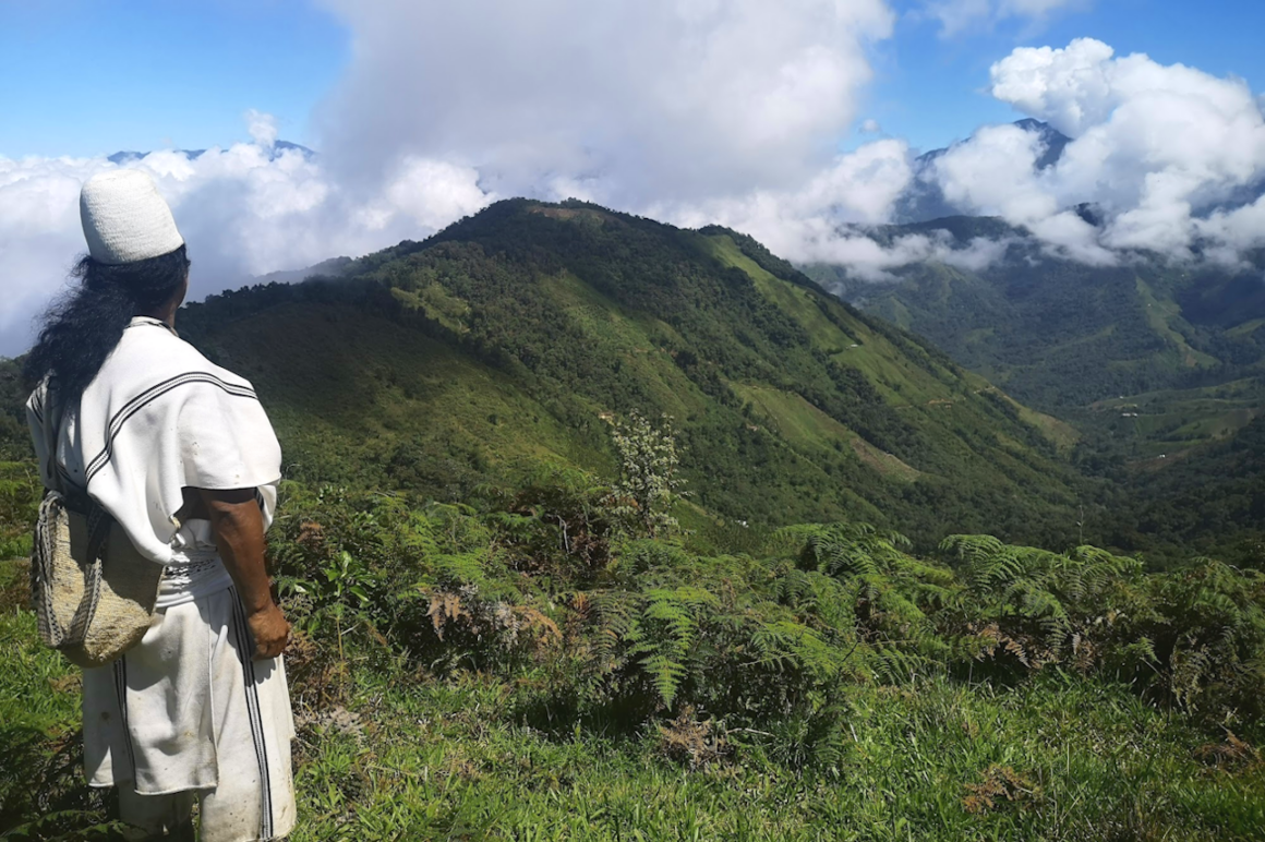
The partners are initially focusing on the protection of one of the world’s most important indigenous protected areas, the Sierra Nevada de Santa Marta National Park in Northern Colombia. Ranked by the IUCN as one of the most irreplaceable places on earth, the Sierra is the ancestral home of several related indigenous peoples, namely the Arhuaco, Kogi, Wiwa and Kankuamo. For at least two thousand years, the indigenous peoples of the Sierra have been dedicated to defending and conserving their breathtaking home land of nearly one million hectares, which to outsiders marks the planet’s highest coastal mountain range and to the indigenous is simply “the heart of the world”.
A portion of this territory has been lost to non-native illegal squatters, and it faces increasing pressure from extractive industries. The objective is to protect the remaining forests from further encroachment and restore degraded areas to their natural forest state.
Over the course of five years, SarVision will provide support to Sacred Forests and the Arhuaco people by implementing advanced forest change monitoring using satellite imagery and derived products. Additionally, comprehensive land use, biomass, and carbon maps will be developed. The carbon map is developed as a first step to generate options for indigenous carbon certificates in the near future. Beyond tracking deforestation, SarVision’s advanced SarSentry system will monitor forest degradation. This radar-based system uses C-band radar data from the European Sentinel-1 satellite system. A big advantage of this system is that it is not disturbed by the frequent cloud cover in the region, and it can detect and quantify forest degradation, for example caused by illegal selective logging, which often goes unnoticed by other existing forest monitoring systems. Near-real-time mapping of deforestation and forest fires will be accessible to the Arhuaco community through SarVision’s user-friendly web GIS platform. This platform includes a viewer, analysis tools, and reporting functions. It also generates near-real-time alerts in the event of undesired activities in priority areas.
The local Arhuaco community is actively engaged in every aspect of the project. Building the community’s capacity is a crucial component, enabling the Arhuaco to monitor the development of their reclamation, restoration, and conservation activities, and report on the progress. They play an active role in validating the system through field visits, which involve visual inspections and field measurements. This information contributes to the characterization of land cover types and biomass assessment. The local knowledge regarding vegetation and land use practices helps in understanding changes and dynamics in vegetation cover, which, in turn, aids SarVision in refining and calibrating the monitoring system. Ultimately, the community has the capability to take responsive actions based on system-generated alerts.
The project aims to assist the Arhuaco community in preserving and restoring their sacred forests while offering them the opportunity to generate revenue in the near future by participating in the growing carbon and biodiversity credit markets.
For more information please contact:
rooij@sarvision.nl


